Transparency
Every data source, every correlation rule, every confidence score. Nothing hidden.
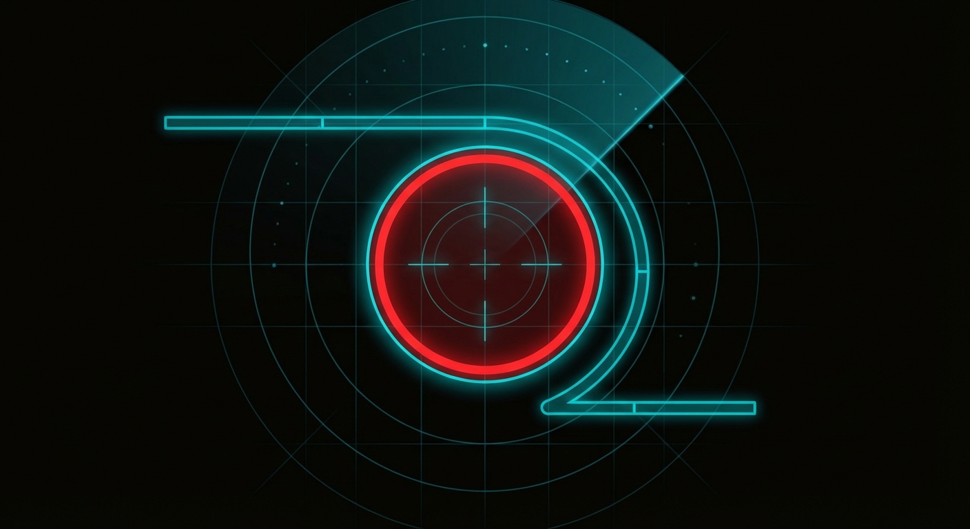
How Strike Confirmation Works
No single source can confirm a strike. CeaseFire Watch cross-correlates 17 independent data feeds to build confidence. Each FIRMS thermal detection is used as an anchor point (50+ MW = 3 pts, 15-50 MW = 2 pts). The fusion engine checks whether other sources detected something within 25km and 6 hours. Each corroborating source adds points to a confidence score. For Israeli territory, missile warnings from Pikud HaOref are the strongest single corroboration signal (+4 pts). Certain source pairings (NOTAM then heat, SAR + FIRMS, BGP + OONI blackout) trigger bonus cross-correlation scores.
Scoring Rules
| Source | Points | Condition |
|---|---|---|
| FIRMS 50+ MW | +3 | Anchor event - high-intensity thermal detection |
| FIRMS 15-50 MW | +2 | Lower intensity - creates low-confidence assessment alone, upgrades with corroboration |
| Red Alert (missile) | +4 | Israeli missile/rocket warning within 30 min of FIRMS event in Israel |
| Red Alert (other) | +2 | Non-missile Israeli warning (UAV, infiltration) within 30 min of FIRMS event |
| ACLED match | +4 | Access denied - will re-enable if granted (currently scores 0) |
| Internet outage | +3 | Country-level internet blackout |
| Shallow earthquake | +2 | < 10km depth in conflict zone |
| Military aircraft | +2 | Within 75km of thermal event |
| Elevated NO2 | +2 | Post-combustion atmospheric signature |
| GPS Jamming | +2 | Active GPS interference zone overlapping thermal event |
| BGP drop | +2 | Network route withdrawal in same country (Palestinian + Israeli ISPs monitored) |
| Active NOTAM | +2 | Airspace restriction within 150km of thermal event |
| OONI censorship spike | +2 | High anomaly rate in same country |
| Aviation diversion | +3 | Civil aircraft actively avoiding the zone |
| Maritime anomaly | +2 | Shipping lane disruption near thermal event |
| NOTAM then heat | +3 | Cross-correlation bonus: airspace closed, then thermal detected within validity window |
| BGP + OONI blackout | +3 | Cross-correlation bonus: network route withdrawal + censorship spike in same country |
| SAR destruction | +3 | Sentinel-1 backscatter drop > 3dB - building or structure destroyed between revisits |
| SAR disturbance | +2 | Sentinel-1 ground disturbance (earthworks, debris, new fortification) |
| SAR + FIRMS joint | +4 | Cross-correlation bonus: SAR structural destruction + thermal signature at same location |
| Local GPU destruction | +3 | Building-level destruction detected by local GPU pipeline (ChangeFormer/SAM) |
| Local GPU disturbance | +2 | Ground disturbance or burn scar from local GPU optical analysis |
| Local GPU + FIRMS joint | +4 | Cross-correlation bonus: local satellite destruction + thermal signature at same location |
| GPS + aviation diversion | +2 | Cross-correlation bonus: GPS jamming zone overlapping with civil flight rerouting |
| Nighttime bonus | +1 | Military operations often occur at night |
Data Sources
NASA FIRMS
Thermal satelliteVIIRS instrument on NOAA-20 detects Fire Radiative Power (FRP). Higher MW = more intense thermal event. 50+ MW flagged as strike candidate.

ACLED
Ground-verified conflictArmed Conflict Location & Event Data Project. Access denied - platform operates without it using sensor-first architecture. Raising funds to pay for API access.
USGS Earthquakes
Seismic detectionANSS Comprehensive Earthquake Catalog. Shallow seismic events (< 10km depth) in non-tectonic conflict zones can indicate large explosions.

IODA
Internet connectivityInternet Outage Detection and Analysis (Georgia Tech). Monitors BGP routing and active probing for Palestinian and Israeli networks.

airplanes.live
ADS-B flight trackingCrowdsourced ADS-B data. Military aircraft identified by type code and callsign. Presence near thermal events increases strike confidence.
Sentinel-5P TROPOMI
Atmospheric chemistryNO2 tropospheric column density from the Sentinel-5P satellite. Elevated NO2 over conflict zones indicates combustion from explosions or fires.

GDELT
Global media monitoringGlobal Database of Events, Language, and Tone. Monitors 100+ languages for conflict reporting with tone analysis.
Pikud HaOref (Red Alert)
Missile warning systemIsrael Home Front Command. Missile alerts scored directly in the fusion engine (+4 pts) - the strongest single corroboration signal.
Cloudflare Radar
Internet traffic anomaliesPer-country internet traffic anomaly detection. More granular than IODA for detecting targeted infrastructure attacks.
GPSJam / GNSS
GPS jamming detectionDetects GPS/GNSS interference zones from crowdsourced ADS-B data. GPS jamming is a common pre-strike signature.
RIPE RIS / BGP
Network route analysisBGP route visibility via RIPE RIS. Monitors Palestinian telecoms and Israeli ISPs (HOT, Bezeq, Cellcom).
FAA / ICAO NOTAMs
Airspace restrictionsNotices to Air Missions. Airspace closures near thermal events are strong indicators of military operations.

OONI Probe
Internet censorshipOpen Observatory of Network Interference. High anomaly rates correlate with information blackouts during operations.
Aviation Diversions
Flight path analysisDetects civil aviation diverting around conflict zones. Airlines receive classified intelligence briefings before media.

Maritime AIS
Shipping lane monitoringAIS vessel tracking. Monitors shipping lane disruptions near conflict zones indicating active maritime threats.
Sentinel-1 SAR
Radar change detectionSynthetic aperture radar from ESA Sentinel-1. Works through clouds, darkness, and smoke. Compares backscatter between revisits to detect building destruction, new earthworks, and ground disturbance at sub-meter precision.
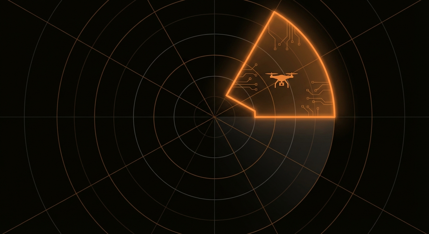
Local GPU Satellite Analysis
Building-level damage detectionHigh-resolution change detection processed on a local RTX 5000 workstation. Sentinel-1 SAR (ChangeFormer) and Sentinel-2 optical (dNBR burn mapping) at 512x512 resolution with connected-component clustering. Each event gets pre-generated AI intelligence text from a local LLM (Ollama qwen2.5:7b/phi4:14b). Results pushed to a VPS relay for zero-latency display on the dashboard.
Limitations
- Satellite timing. VIIRS passes over each location roughly twice per day. Strikes between passes are missed by thermal detection.
- Precision munitions. Modern guided weapons create brief, low-FRP thermal signatures that satellites often cannot detect. Small arms and artillery are invisible to FIRMS.
- No ACLED. ACLED requires a paid API subscription. The platform currently operates on sensor-derived data only, which means no human-coded ground reports.
- False positives. Industrial fires, agricultural burns, and natural events can produce thermal signatures. The scoring system mitigates but does not eliminate this.
- Cloud cover. TROPOMI NO2 and VIIRS thermal require clear skies. Sentinel-1 SAR works through clouds but has a 12-day revisit cycle, so rapid changes between passes are missed.
Keep this monitor running
CeaseFire Watch is funded entirely by individuals. No government funding. No political sponsors. No ads. Your contributions pay for API access (ACLED, satellite data), hosting, and the engineering time to add new data sources and maintain the platform.
100% of funds go to infrastructure and data access. This project has no commercial interest.